2026 Pricing
Arolik River
More Info
- PBA coordinates boat, wheeled charter, and village transportation
- Rates are based on 2-Person Minimum
- Lodging available in Bethel for a fee
- Rates may be subject to change due to unforeseen third-party adjustments
- PBA highly recommends trip insurance. Please click the "Book Now" link for more information
WEIGHT LIMITS: 1. Group weight = Weight of all people, gear, supplies and food
2. Maximum allowable weight:
• 2-3 People and 1 raft = 1200 lbs
• 4 people and 2 rafts = 1900 lbs
• 4 people and 2 rafts (upgrade to two Beavers for a fee) = 2400 lbs
• 5-6 People and 2 rafts = 2400 lbs
• 6 people and 3 rafts = **3100 lbs
• 7 people and 3 rafts = 3100 lbs
• 8-9 People and 3 rafts = 3600 lbs
3. **Different rates apply for 6 man groups and 3 rafts along with 9 man groups and 4 rafts or groups above 10. Contact pba for more information.
PLEASE NOTE: Due to the commitment of safety to our clients, each group will be required to carry a satellite communication device (ie. Sat Phone, DeLorme, inReach, etc). If you are unable to bring your own device, Papa Bear will provide you with one for a fee.
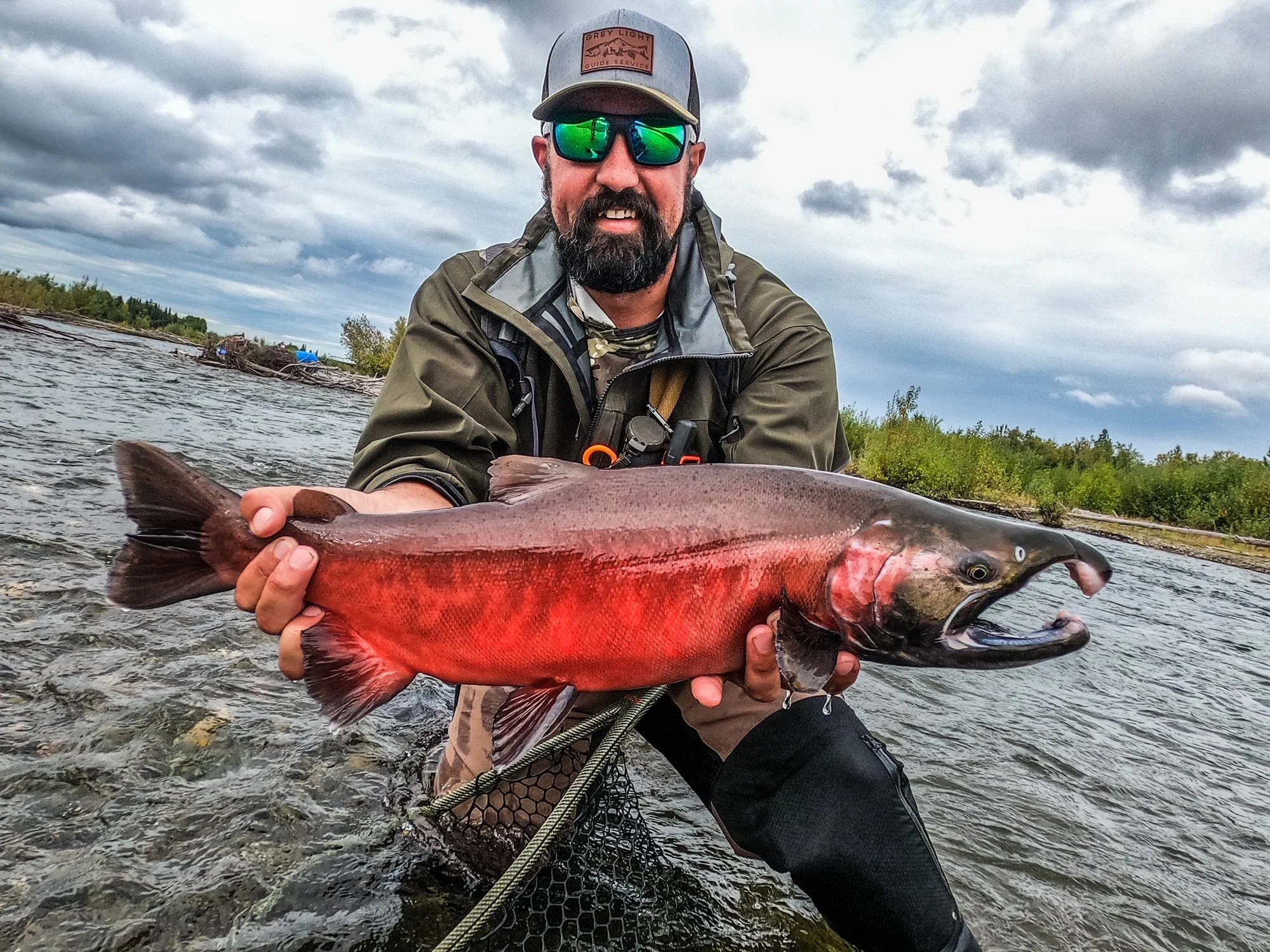
If trout fishing is your preference, the Arolik River is the perfect adventure for you, as it’s world-renowned for its incredible Rainbow Trout lurking in the water.
But there’s more to the Arolik River than trout. The fishing season begins each year in mid-June with the King Salmon run and culminates in mid-September with Rainbow fishing reaching its peak and the end of the Silver Salmon run. In addition to Rainbow and King Salmon fishing, the Arolik River adventure also offers great Dolly Varden and Grayling fishing.
By Float Plane from Bethel to Arolik Lake
Length:
Approximately 45 river miles
Float Duration:
Minimum 5 days. Average duration = 7 to 10 days
Topo Maps:
We do not provide maps. Maps can be purchased through the U.S. Geological Survey office nearest you or in Anchorage by calling, 1-888-275-8747 (outside Alaska) or 1-907-786-7011 (in Alaska). The following are the map sheets required for the Arolik River float: Goodnews Bay B-6, C-7 and C-8.
Pick Up:
Clients are picked up near the mouth of the Arolik River by ground transportation and taken to the airstrip in the village of Quinhagak, Alaska. Our clients are then picked up by wheeled aircraft and flown back to Bethel.

The Arolik River flows northwest from Arolik Lake through the Eek Mountains. The upper portion of the river is small and depending on the time of the year and current rainfall can be fairly shallow. Rafters often find themselves having to get in and out of their rafts to walk them through the shallowest parts. After the first 10 miles, the Arolik River almost doubles in size and flow, and this is where the fishing really turns on!
Arolik River History:
“Arolik” is a variant of Aalalik, the Eskimo name for the river, which means “ashes”—a reference to the “burnt village” (now abandoned) which was situated near the entry of the North Mouth Arolik River into Kuskokwim Bay. U.S. Coast and Geodetic Survey Chart T-3399, published in 1913, reported that the term “Arolic” meant “moon” in the Eskimo language. Variant names include Aalalik River, Arolic Creek, Arolic River, Kwiyadik Creek. The Arolik River is one of three river systems that drain the northwest flank of the Ahklun Mountains and flow through the northwest portion of the Togiak National Wildlife Refuge (Togiak NWR). Bethel is the nearest regional hub. The river flows into Kuskokwim Bay just five miles south of the village of Quinhagak.
